This trip included 3 nights at Crystal Mountain on the east edge of the park with two hikes on that side, and a transfer to Paradise inn where we did two more hikes.
This is a view of the mountain on one of our hikes. There was smoke in the air from nearby fires. The flowers are Partridge foot a member of the rose family.
The first hike was Third Burroughs Mountain. It is a ridgeline out of the Sunrise Visitors center leading to three bumps called first, second and third Burroughs mountain. The developed trail ends at second Burroughs mountain but a use trail continues to the third bump where there is a view of the Winthrop glacier. Total mileage is about 8.5 miles and 2500 ft gain.
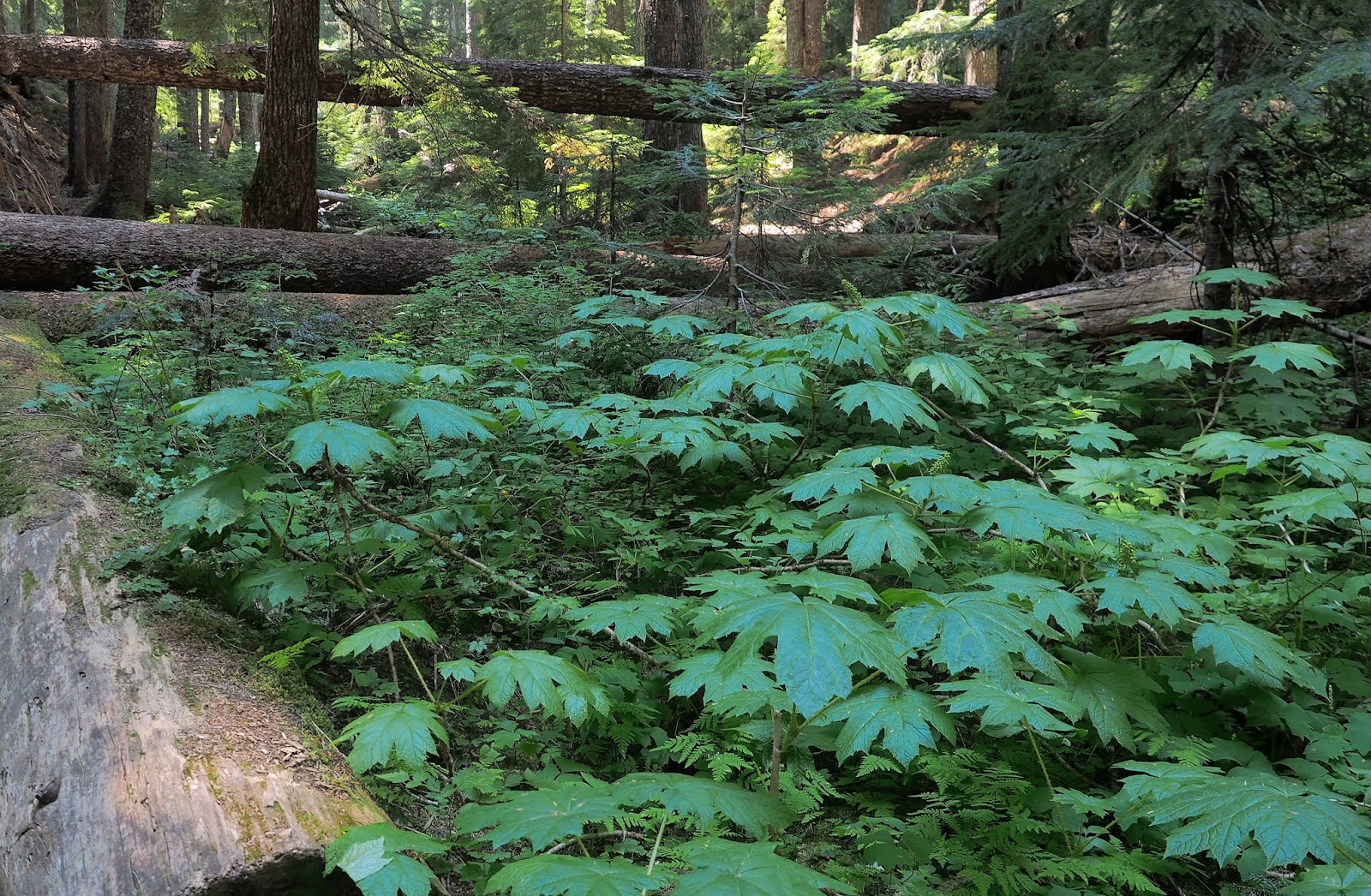
The trail leaves the parking lot and traverses open meadows. The flowers would have been better a week or two earlier. Probably the middle of July would have been better as long as the road/pass are open.
Looking across the meadow to the mountain.
After about 1.5 miles you come to this small pond called Frozen Lake. Just past it the trail splits to go right to Freemont overlook, or left to Burroughs mountain.
Going left you can see the trail as it gains the ridge line. Second Burroughs mountain is the gray knob in the center. Third Burroughs is the ridge in the background with a "S" shaped snow patch.
Looking back we can see frozen lake, and the fork in the trail that leads to Fremont overlook.
Freemont overlook from our trail.
Nearing first Burroughs mountain we can see the real mountain behind it.
On Second Burroughs there is a rock structure, and several marmots.
Small flowered penstemon found at elevations on Mt Rainier.
Pussy paws found at high elevations all over the west.
This is near third Burroughs, looking back toward second Burroughs (the flat mesa).The trail from Second to Third is visible showing that there is about a 300-500 ft dip between the two bumps.
Hiker on top of third Burroughs.
Winthrop glacier from third burroughs.
Davidsons Penstemon.
From the ridge we could see goats in the valley. This is the most that I have ever seen in one group.
Zoomed in there are young goats visible.
Yellow Coralbells
Partridgefoot
Buckwheat
Second day of trip.
This day we went to Summerland. That is just inside the Sunrise entrance of the park at Fryingpan creek parking lot. It follows a stream through woods to a meadow that could continue to a pass, or all the way around the mountain if you have a week or two. The hike is 8.2 miles IAW the hiking book, but might be closer to 9 miles. The elevation is 2000 ft.
Starting out in forest.
Pipsissewa
Twin flower
Bridge over a creek
Lewis Monkey flower.
The group today.
First view of the mountain today
Pearly Everlasting
Police Car Moth.
Bush Penstemon?
Parnassia Fimbriata
Meadow on the way up where views were great. Looks like the Matterhorn.
Different color of Paintbrush
View of the mountain from Summerland. The previous day on Burroughs mountain was just ovet the ridgeline on the right.
Cold water.
Lewis monkey flower and some astors.
Back down through the woods.
Devils Club. A lowland shrub that has stickers. The most dangerous ones are on the underside of the big leaves because you can't see those.
The third day.
We checked out of Crystal Mountain and headed toward Paradise. Since we can't check in till late, we hiked to Comet Falls. Comet falls is about 4 miles RT and 1200 feet of gain.
This trail was steep and rocky, but there was a lot of shade.
A foot bridge near the top of the trail.
Small waterfall just before the big one.
Yellow monkey flower
Willowherb.

Heartleaf Saxifrage
Trail maintenance.
View of comet falls. 320 feet high. The big one.
The fourth day we planned on hiking to Camp Muir out the door of our hotel.
You can see it from the visitors center next to the hotel but it is a 9 mile hike with 4700 feet of gain. More than half the distance, and elevation is over the Muir snowfield.
5 hikers started out on this hike but not all of us intended to get all the way. I have been having trouble with my achilles tendon so only planned on going part way. Others in the group lost some of their drive upon reaching the snow and seeing that we weren't even half way yet.
4 of the 5 starting out on the paved part of the trail.
An early sign showing the way and the distance.
Following the paved path.
Veronica cusickii, (speedwell)
Looking back down the trail after the pavement ended and snow patches started.
Mountain wildflowers
The sign at Pebble creek, where the snow field starts. At the start of the trail a sign said 4.2 miles, now only 2 miles remain to Muir Camp, and about 3000 more feet of gain, all of it on snow.
Crossing Pebble creek
First steps on snow are pretty steep.
Look up the trail after about 10 minutes of snow hiking. The destination is on the horizon and is 3000 vertical feet ahead.
Looking back down the first 10 minutes on snow.
Turn around point.
Slipping down the trail.
Taking a shortcut.
Birdsbeak lousewort at Pebble creek.
Tolmie Saxifrage
Partridge foot.
Tolmie Saxifrage.
Wet area with moss, and pink Monkey flower.
Willow herb at the wet area.
Anemone flower
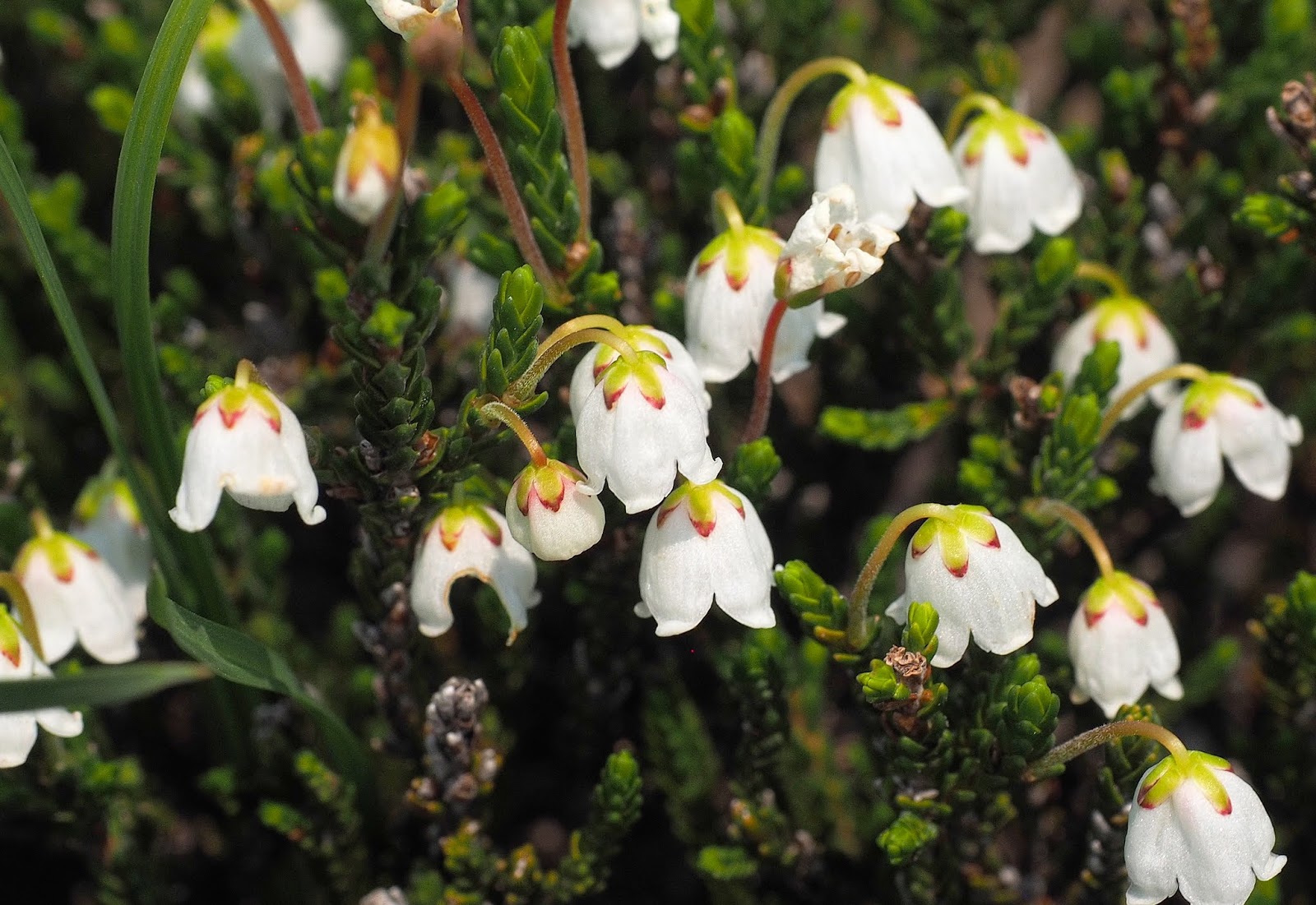
White heather
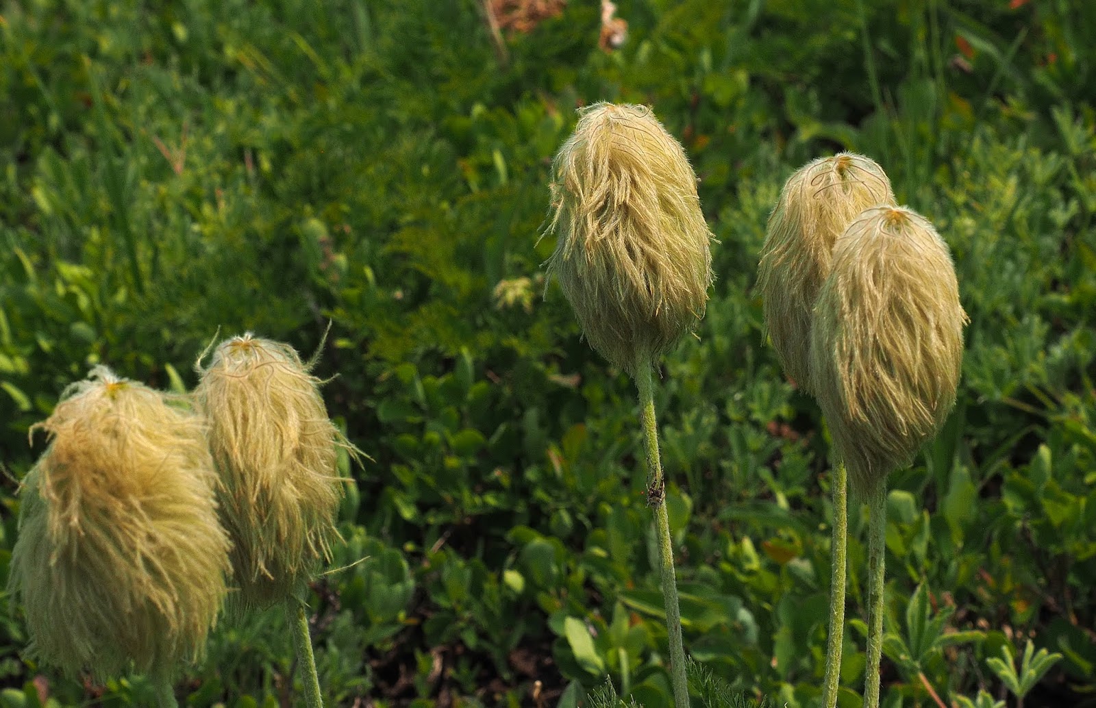
Anemone seed heads.
Pink and white heather together.
Gentian.
Reflection lakes.