This would be my third time at Yant Flat. We did it as a day trip this time instead of spending a night in St George. It took 2.5 hours to get to the trailhead, about 145 miles.
When we got to the parking lot there were 3 vehicles ahead of us. That was very good considering the over crowding at most outdoor locations during Coronavirus.
Starting down the trail we first saw Showy Stoneseed. A plant common in this part of UT.
Claret Cup cactus was next.
Blue Dicks, also found in Red Rock in Las Vegas.
Probably Antelope brush, a relative of cliffrose but with smaller and yellower flowers.
Purple Sage
Utah Penstemon. Also found in NV but is red in NV.
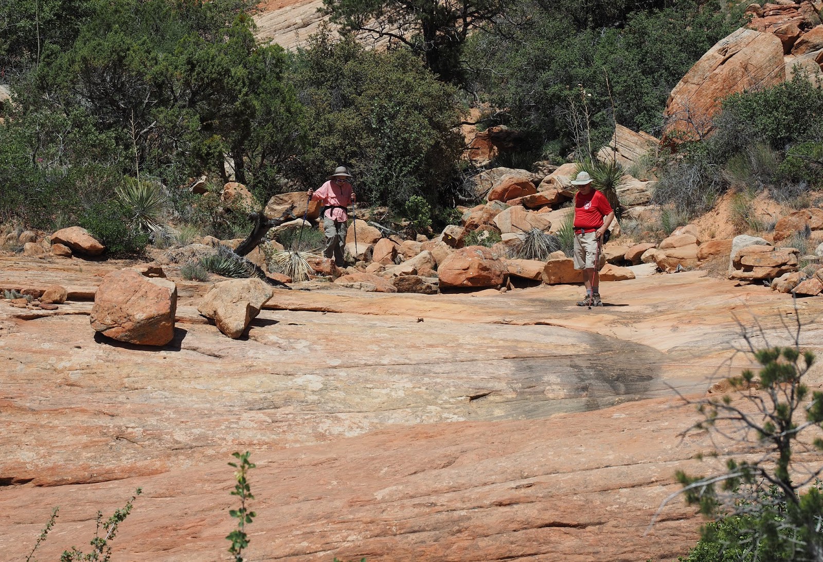
After 1.25 miles of walking the trail we came to the first siting of slickrock. We did not explore the first section of slickrock this time. I call it First Bowl. Instead we traveled to the left to get to Second Bowl and the easiest path to Yellow Top.
You can walk all around on the rock but there is a very steep edge preventing access to the valley.
Looking down into the valley.
There is a strange spiral carved into the rock near the petroglyphs on the wall below the spiral.
Looking back up toward the way we came.
Working our way from the spiral down to the wall with petroglyphs.
You pass thru this glade just before the petroglyphs
Unidentified shrub.
Another unidentified shrub.
There is a lot of good texture in the rocks here.
One of the flat spots that Yant Flat was named after.
Most of the area is pretty easy to walk but there is also plenty of places to climb on rocks.
In the middle part of Second Bowl is some red and white striped rock. The stripes converge into what I call the Red and White stripe which you can follow to the west to a place where is goes straight up a mountain. There you can either go left to the Third Bowl, or right down the drainage about 1600 feet to Yellow Top.
Looking back east the way we came along the red and white stripe. It looks better toward the west but you need afternoon light to get a good photo.
Brenda walking along the Petrified dinosaur bones sticking out of the sandstone.
I avoided over saturating the colors in the rocks so you could see what they look like.
We passed these hills, one with an alcove, both on the left, before bearing right into the drainage and brush scramble to Yellow Top. It is only 1600 feet of scrambling.
This is where we exited the brushy canyon and by then we were just around a corner from Yellow Top.
First view of yellow top, It is the only place there with yellow tinted rock.
From the wash it looks like it might be difficult to climb up there, but there was actually no problem if you first gain the darker ledge from the left, and step up to a flat just left of the yellow dome.
Easy walk up when there.
Here we are behind Yellow Rock working our way to the ridge where we expected to find smooth rock that would allow a loop back to the Third Basin, and then to the cars. At the ridgeline there was a straight drop of about 700 feet and a matching climb up the other side. We could scramble up the steep and loose rock ridge to our left and avoid the canyon but it was not an easy scramble. Better to go back up the wash we cam down.
Scrambling up the ridge we got an aerial view of yellow rock.
After we got to the top, we had to go down the other side.
This is looking across Third Bowl toward the canyon we could not cross. A small piece of the ridge we scrambled up and down is at the very left of the screen.
We stayed on high, but sandy ground on the way back to the cars. This is passing Second Bowl in a better light than earlier when we were there.
Looking off into the distance toward Capital Reef?
New plant to me. Washoe Phacelia.