This is a hike in Valley of fire that starts on Mouse tank road at P1 and goes east to the first small wash. From there you follow that wash down stream to the next wash and follow it down another 2.5 miles where it joins Kaolin wash where you turn left to return to the road near the Fire Wave. The the total hike is 6 miles with almost no elevation gain (300 ft). We took 5 hours to do it at an overall average speed of 1.2 MPH.
Leaving the car we had 23 hikers. This is the short section between the cars and when you drop into the first wash.
Climbing down into the first wash involves this slightly steep section with sand making it a little slippery.
Continuing down the wash it stays narrow for a while and crosses several rocky sections like this.
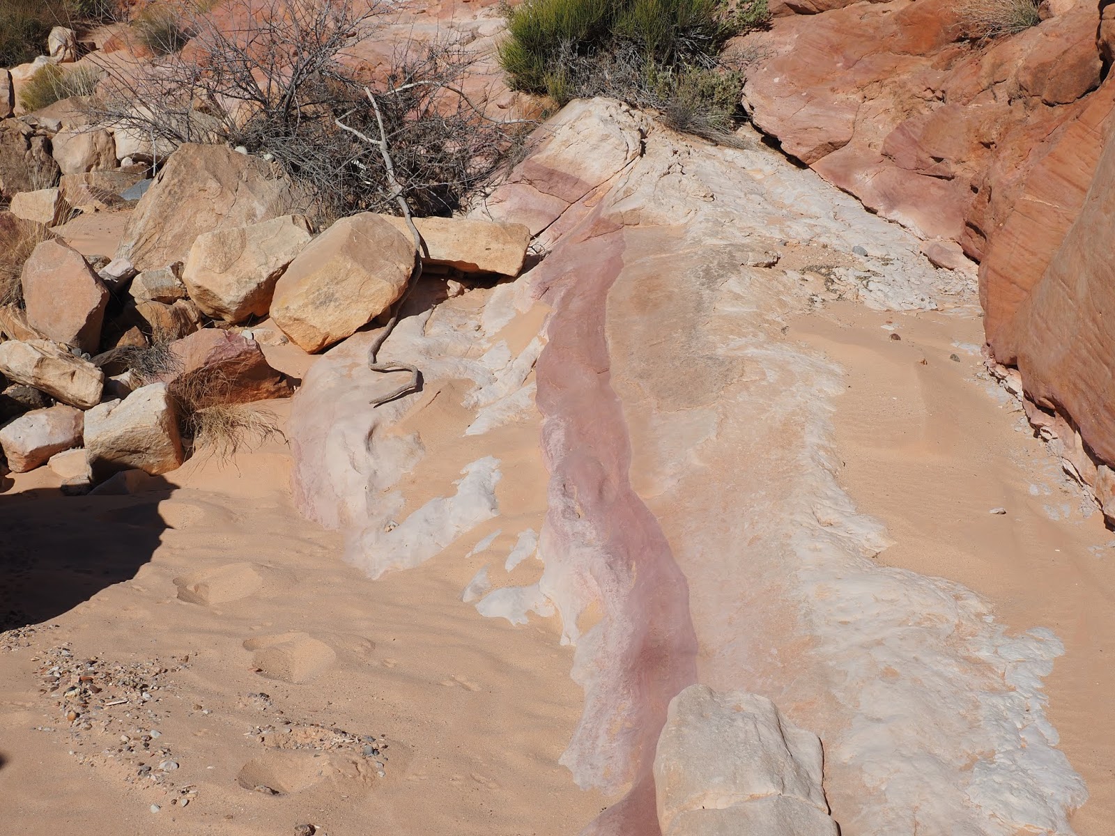
When the wash opens up there is a lot of colorful sandstone.
Black cap is visible in the distance. The main wash turns right before you get to it.
Soon you come to the Little Zebra slot offering some good photo ops. This is from the upstream side.
This is from the down stream end.
Also from the downstream side with another photographer on the other end.
After the zebra slot the wash you are in joins the main wash which has sections like this but is much wider than the first wash.
About half of the main wash is sand like this which is hard to walk in unless there has just been a rain.
Again, keep looking for interesting rock designs. In this section of the wash you are not hiking in red rock. Later you pass into another area of redrock where there is a large brownish rock dam across the entire wash. I keep to the right to get past it but you can choose any path.
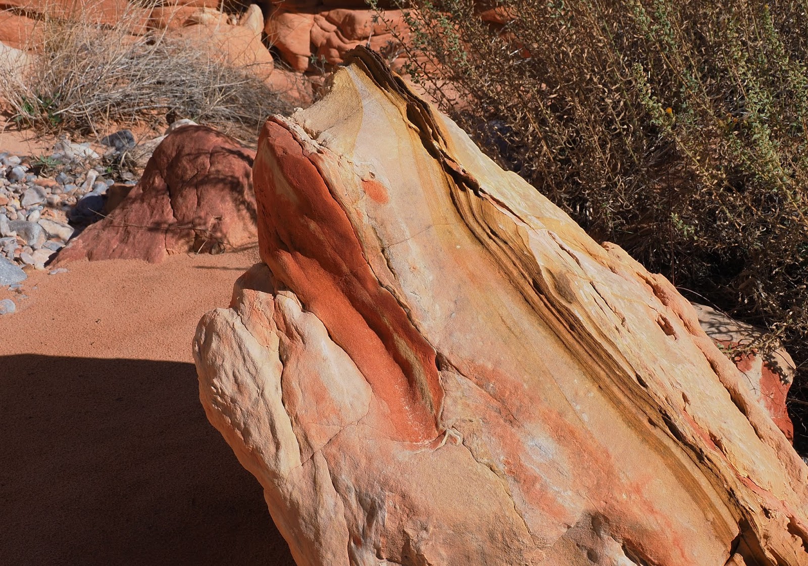
This is the down side of the rock dam with a different style of arch. It has patterns in the rock.
Next there is a second level of the rock dam that you walk directly down.
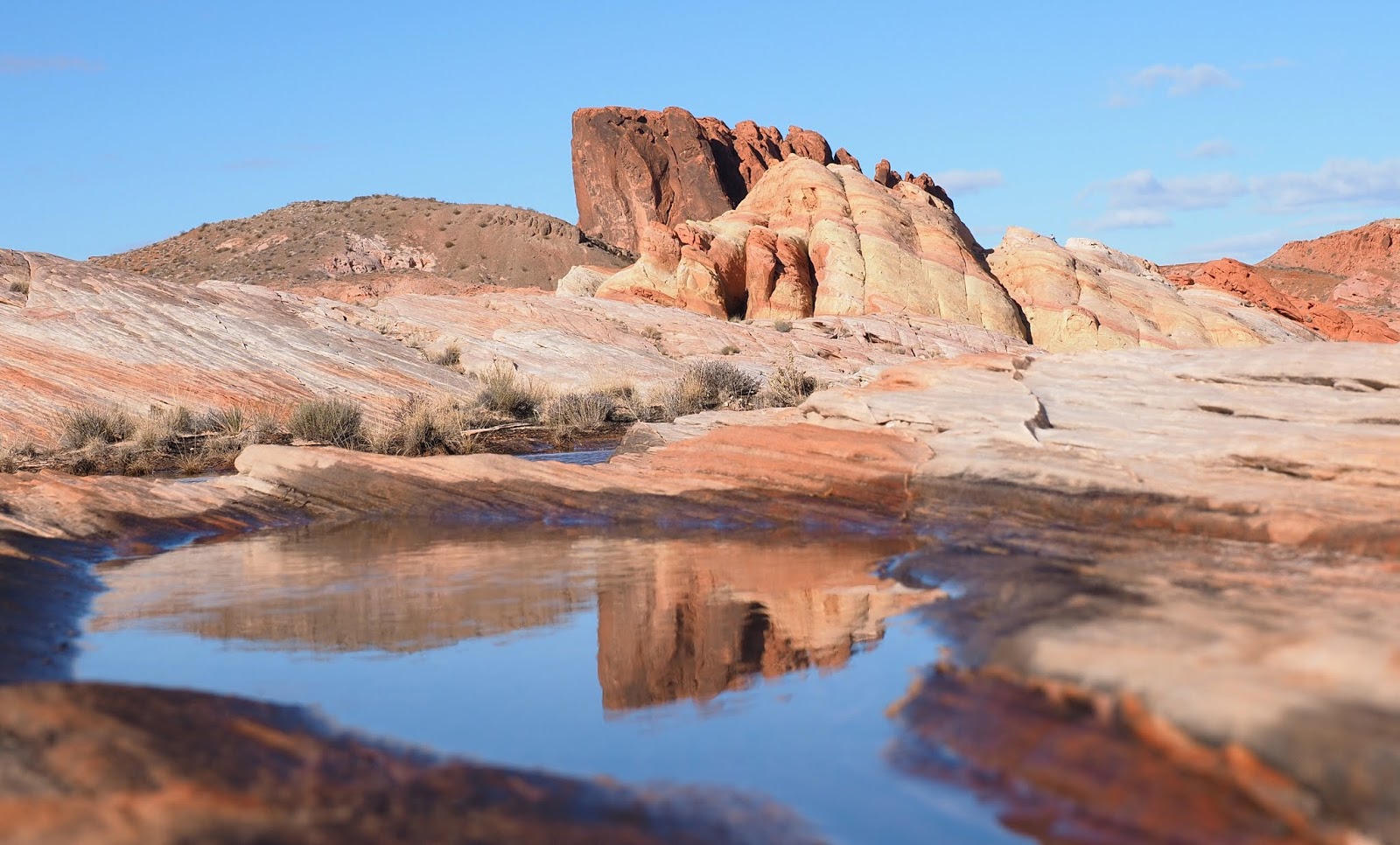
A short way further there is another section of dark rock crossing the entire wash but is easy to just walk over. It is from here you can look ahead and see Turtle Shell rock (at 3 miles) marking the junction with Kaolin wash where you turn left.
Turtle Shell rock in the center.
This section has a hoodoo on the canyon rim
This looks like Lipstick rock.
Along the right side of Kaolin wash there are bluffs. On about the third or fourth section of bluffs are the 100 year writings.
This one is partially on a section that is exfoliating. It might not be there for many more years.
Above the writings the canyon narrows down and passes under this overhang. Here if you look back you can see the wall where the writings are.
Soon you are climbing over large rocks again.
Thig is a very narrow squeeze that will let you know you are getting close to the Fire Wave.
From the Fire Wave on another day when there was snow on Virgin Peak.
From the Fire Wave we leave the wash and walk the beautiful sandstone south to the cars that we prepositioned at P2. This photo was another day as well because it had just rained.
We did see sheep near the wave today, and some babies too. All together we saw around 30 sheep that day.
See the baby Bighorn hiding?
Next to the Fire Wave.
Beautiful sandstone and fins.
Last slickrock before arriving at the car.