This hike in the Valley of Fire is around 4 miles long with maybe 300 feet of gain overall. The starting point is off Mouse tank road at the junction where Duck Rock trail starts. This is before the White Dome parking lot and is the northernmost point of the road. There is a gate where you park. Try not to block the gate. At one time there was a dirt road here going north toward Logandale.
over view of track.
Detail of west section in the rocks showing location of the cut across ramp, delicate rock, and the 3 man site.
Starting from where we parked at the gate,we walked up the closed road about 500 feet before taking off to the left in a northwesterly direction. This will drop you into the canyon seen here.
Following that rocky canyon north it empties into a sandy wash where we turned left (west) toward the red rocks. Before you reach the red rocks this wash will turn south toward White Dome.
Shortly after the wash turns south there is an off shoot branch going directly west toward the red rocks. This is visible on Google Maps, Satellite view.
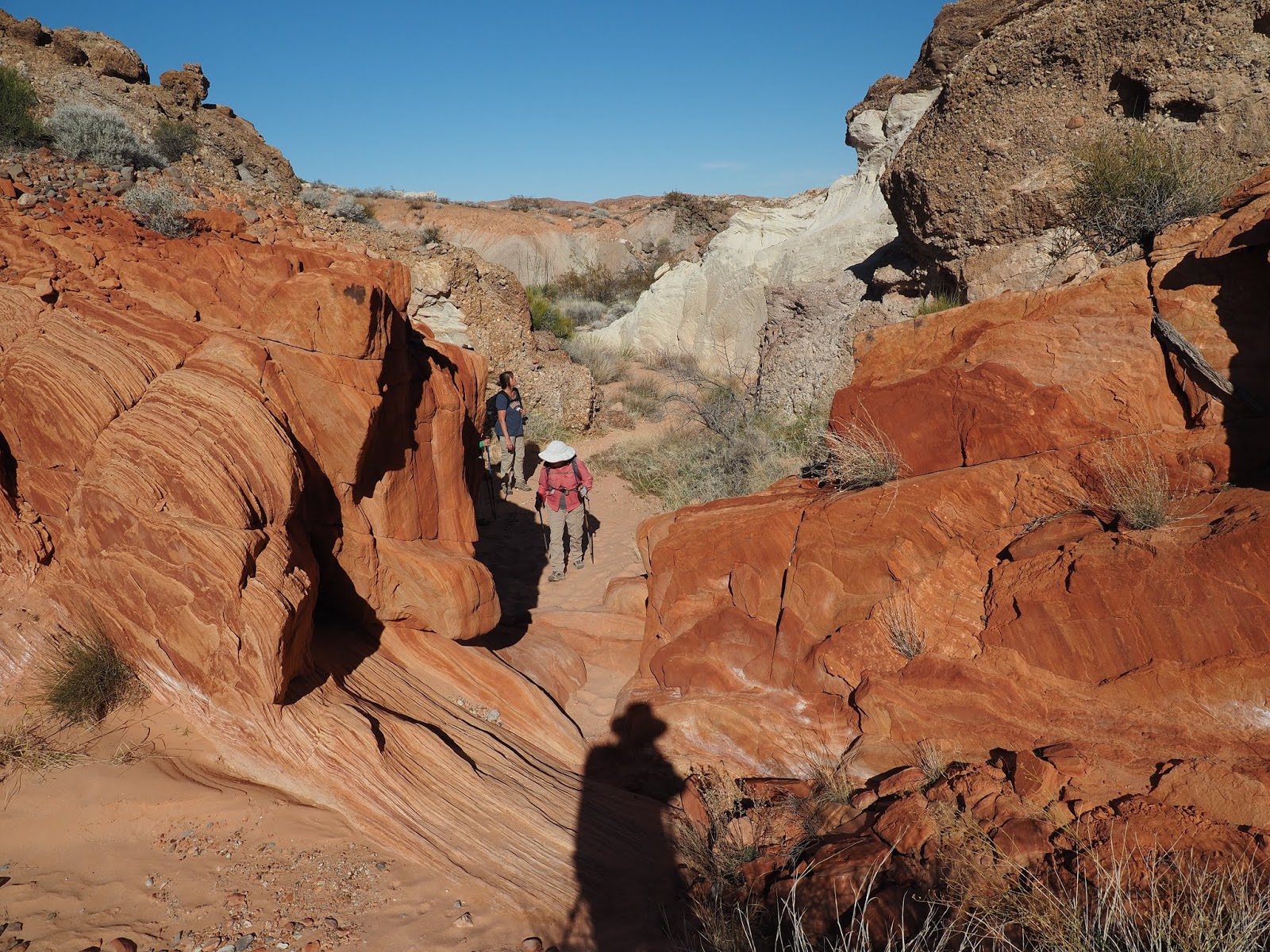
This westerly side wash will enter the red rocks and turn north within the rocks. There may be a couple of pools to go around and a dry fall to go around on the left.
Turpentine Broom was blooming on this date, Feb 2.
While in the canyon within the red rocks, after a few twists it straightens out in a NNW direction. At 36.4992009/-114*5404949 there is a spot where you can turn left and walk up a ramp into an adjacent and parallel canyon to continue northward. This is the canyon where the petroglyphs are.
This is looking back down the ramp leading between the two canyons. Petroglyphs would be in the upper left of the screen if you could see through the rocks.
At the top of the ramp, on the right, is this rock we named turtle rock. About here you drop off the ramp into a sandy area, turn right, and continue north. The Three man petroglyph is about 350 feet up this secondary canyon. The canyon narrows quickly, climbs over a couple of rocks, and through some brush, before ending in a small sandy flat. The petroglyphs are to your right when you reach the sandy clearing.
This was in the canyon you just hiked through, and before it narrowed down. You might miss it because it is high on the top left side requiring a telephoto lens. I called it Alien rock. I hope to go back with a bigger lens to get a better photo.
The petroglyphs. This is all there is. Only one panel.
Continuing north from the petroglyphs you pass this window looking east to Virgin peak.
Continuing on we saw a large pack rat nest.
There is a point where you leave the rocks and can travel east over open country toward another red rock mountain that is closer to the dirt road you started on. There is a sand dune there. The petroglyphs there are on the south end of the big red rock mountain and at the foot of the sand dune.
The petroglyph at the foot of the sand dune.
White Bursage.
We walked up the sand dune and then eastward till we dropped back into the main wash that goes from near white Dome, north past duck rock, and on to the last set of petroglyphs at the foot of the water pockets.
This is the wash near Duck Rock (on the right. later)
Left of the wash are more areas that should be explored.
Duck Rock, on the right easily visible if you aren't looking at the red and white colored rocks off to your left.
You can't miss this one. It is right in the wash.
Black Tailed Gnat catcher.
The third set of petroglyphs are at the bottom of the last water hole, and on the left. They are not chipped into desert varnish, but are carved deeply into buff colored sandstone. They are not clear unless there is strong cross light to cause shadows. So I did not include photos of any of them except this one of a paw print that was in shadow. If you cannot make it down the last drop without ending up in the water, you can go around on the left. The paw print is just above the rabbit hole before the petroglyphs, if you are hugging the cliff face.
From the last water hole we followed the wash for about 600 ft and turned right into the first wash. It looks like this.
More modern petroglyphs.
The wash enters sandstone and from there we followed the sandstone south until it ended and then branched south west over a sandy hill to where the cars were visible.