Search This Blog

Tuesday, May 21, 2019

Backyard birds updated


Wilsons Warbler

Our back yard has a Palo Verde tree over the wall that attracts many birds while in bloom


Bullocks Oriole


 Rose breasted Grossbeak


Finch ?


Yellow rumped Warbler


A Verdin catching worms to feed it's young


Yellow warbler


Yellow warbler


Wilson's Warbler


Wilson's Warbler


Wilson Warbler


Western Tanager


 Western Tanager


Bullocks Oriole


Red Crossbill


Ring neck dove


Mourning Dove


Yellow rumped Warbler


Not the backyard, but up the road at Floyd Lamb Park
American Bittern

Friday, May 17, 2019

Rimrock Hoodoos

These Hoodoos are located one mile west of The Toadstools. Trail head is directly across from the Paria Contact station. Hike is 2.5 miles overall.


 From the trailhead at the cattle gate in the fence. Hike north east toward a large valley. Soon look to the right and see the first butte on the right. Go around the left end of that butte to the large alcove behind it. Here you will see Hoodoos on the cliff tops.


 Continue hiking behind the butte in an easterly direction and you will find yourself walled in by a large mud dike. There is a slot in the middle of the dike that does not go through, but just to the right of the slot you can climb up one of the leads that show evidence of hiked on.


 After you get on top of the mud dike the trail continues (actually starts for the first time) Hike further looking left at the hoodoos on the ridge. there are several clusters. When the trail peters out go cross country into the hoodoos. You can go right up to the tall skinny one.
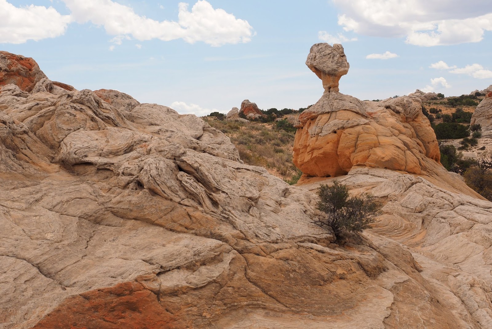


 Tall skinny Hoodoo.


Red dome Blanket flower
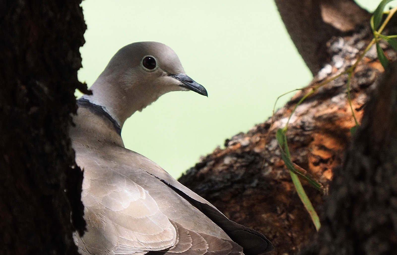

Aster


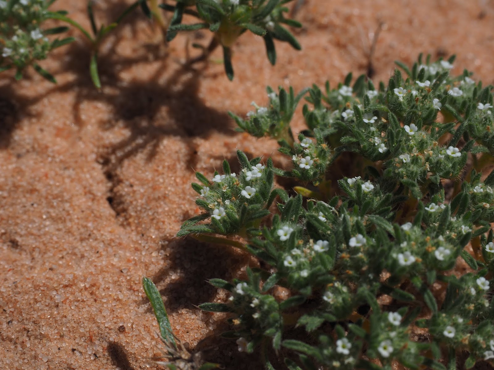
Ipomopsis longiflora, white flower skyrocket.


The trail leaved the car through a cattle gate in the fence and proceeds north east in an open valley following cow trails. Turn east when you get to the left end of the first butte and go behind it, up a mud wall to the main Hoodoos.

Thursday, May 9, 2019

White Pocket

White pocket is out of Knab and 7 miles east of The Wave. You have to go with a guide unless you have a full size truck based SUV with 10-12 inches of ground clearance and tires you can lower the air pressure in. That is because the road is about 30 miles of sand and rock. The rock isn't a problem but the sand is.  All the outfitters use trucks that dig tracks in the sand that are deep requiring a lot of clearance. If there has been rain recently, and not much traffic, the sand will be firmer and not subject to deep ruts. Tires only dig down to the layer of moisture in the sand.


When you arrive at the parking area this is the bluff on the right. Following down the wash along it you come to a shelter cave with petroglyphs on the right side of the opening.


The petroglyph by the shelter cave.


Artifacts the rangers have found in the cave.


  Leaving the shelter and climbing the opposite sand hill puts you in the White Pocket area.


The terrain is very convoluted and larger than you would think. I try to get people in some of the shots for perspective.


See Brenda in this one?