We went on a 5 day trip to Moab during the Jeep Festival but they were restricted to jeep roads that we couldn't go on anyway. On 3 days I planned big hikes and did tourist things on the in between days.
The first hike was on the Devils Garden loop/primitive trail at the end of the road in Arches. It passes about 6 arches, petroglyphs, and is about 8 miles total. There is some scrambling and some exposure on the trail that is well marked with cairns.
Landscape arch is the longest arch on this hike. It is at the end of the easy part of the trail. From there the trail has scrambling and a little exposure which keep the crowds down, especially if you start early.
Partition arch is on a spur trail after landscape arch.
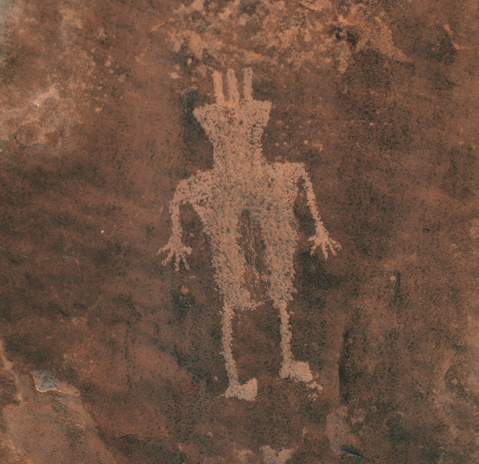
Double O arch is two arches, one above the other. It is at the north end of the loop trail where a spur trail leads to Dark Angel and the petroglyphs on the cliffs west of Dark Angel.
Petroglyphs near Dark Angel
Narrow slot used to descend the cliffs to the petroglyphs.
Continuing on the Primitive loop we passed Private arch which in in the fin behind Brenda.
On the final leg of the loop we had a view of the snow capped la Sal mountains
This is Pine tree arch almost back to the car.
On the second day of planned hikes we drove to the Horseshoe canyon area of Canyonlands NP where the "Great Gallery" is. It is rock paintings instead of the usual scratched petroglyphs. It is 122 miles from Moab and includes 30 miles of dirt road. But is was a pretty good dirt road. It did pass by a blowing red sand desert.
After parking at the canyon rim we headed 750 feet down into the canyon and walked the rest of the way in the wash. Total distance of about 8 miles.
There was some water in the canyon but it presented no problems.
This is the second of 4 pictograph panels you pass on this hike.

This is next to the above panel around a pile of rocks.
This is the Great Gallery, said to be the best example of pictographs in the area. The figures are 4-5 feet tall and spread out over about 70 feet.
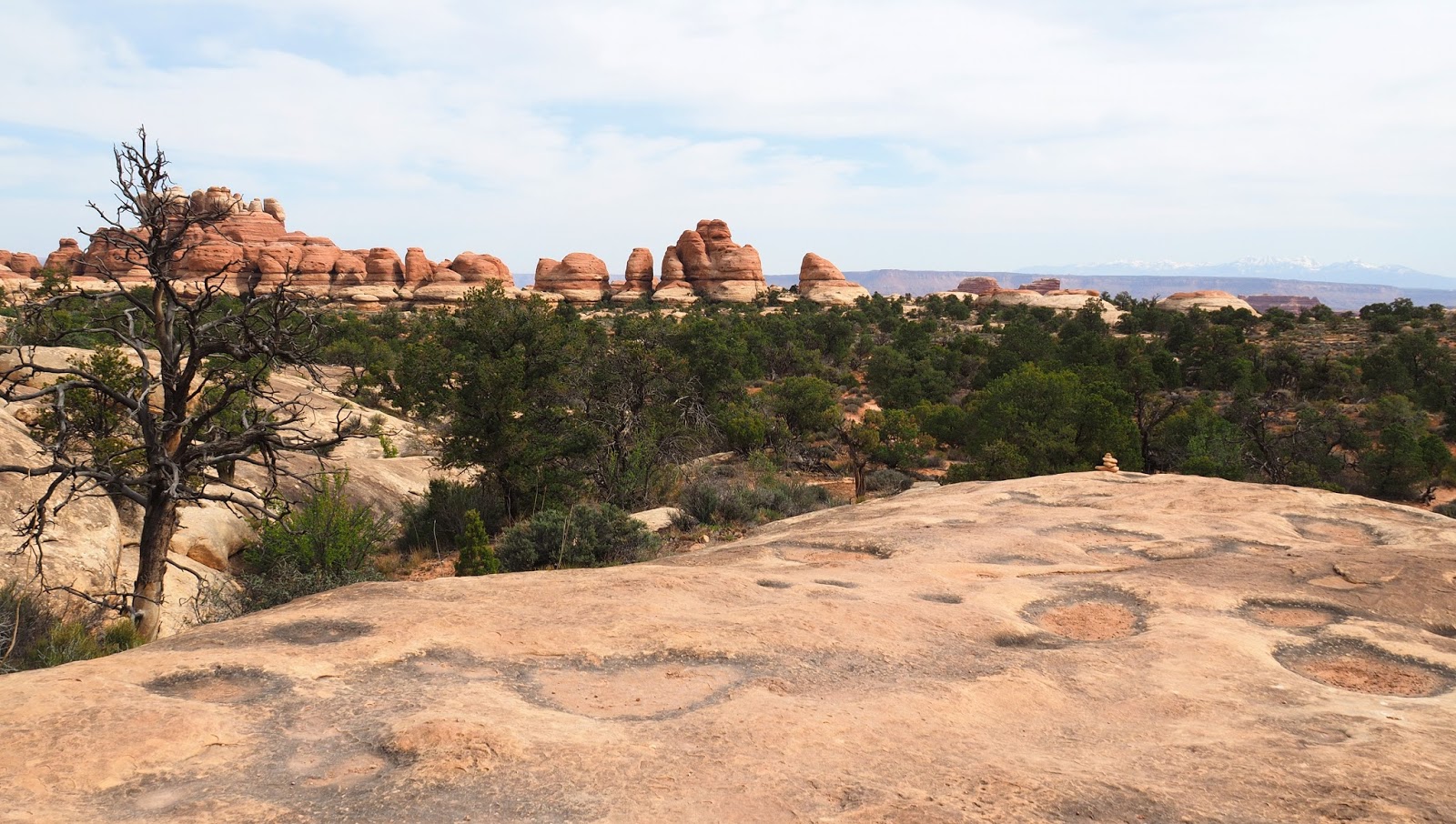
The third hike we took was in the Needles area of Canyonlands about 2 hours drive south of Moab. The hike to Druid arch. It is about 11 miles and 1200 feet of elevation.
The trail started out on slick rock marked with cairns. headed toward a group of red rocks.
Got to go through a narrow area.
After crossing the slick rock the trail went down into this canyon and followed it the rest of the way to Druid arch. Except for about a 500 ft climb at the end to get the best view of the arch.
Trail junctions were well marked with arrows and distances. You may think that trails this well marked would not have any scrambling or exposure....you would be wrong. But it was not too extreme...Brenda and I made it.
Just a view of a side canyon we didn't get into.
Part of the trail going down into the wash.
The trail after entering the wash
After climbing up a pour over in the wash.
The final scramble to the foot of the arch.
Druid Arch
Brenda and the arch
Looking back down the canyon we came up and the way back to the car.
First part of the trail from the parking lot across slick rock toward the wash trail.