Search This Blog

Tuesday, January 23, 2018

yellow spire exploratory 3


Heading out again to get more familiar with the Yellow Spire area. Off Silica Dome parking lot to the north. Visible in the photo as the orange-yellow badland area.


This time we took the old road toward the Spire and dropped into the wash on the right about 2/3 of the way down.


 The rocks in the wash added some interest to the hike instead of following the old road all the way.


 The wash was wide and easy walking. At the foot of the wash we turned left for about 300 yards to arrive at the entrance to the Yellow Spire area.


 Straight into this photo you bend to the left and are in the Yellow Spire valley.


Just past the spire you go over a rise into the  Hoodoo valley.

 View down the wash after passing the Hoodoos.


 View off one of the high points.


 View into the next basin from climbing up and looking over. We didn't have time to explore any if it.


New rock formation...."Finger Rock"


Returning uphill to the cars we tried the wash that was on the left side of the old road down, right side going up. Usually we use this wash to descend part way before going up to the road. This time I wanted to see if it went all the way...it did and there were no major obstacles.


On the way out of the park there were Bighorn sheep on the rocks behind Mouse Tank picknic area.


Maps from 3 trips. Blue- Brenda and I, Red- Nick and I, Yellowgreen, Reno friends.


 From the parking lot to the entrance to the spire area.


Through the entrance and past the spire and hoodoos.

 Green track on the far right is the way into the next basin.


Wednesday, January 17, 2018

Yellow Spire exp

This is my second exploratory hike in Yellow spire. It was about 4 miles long and stayed in the rocky area just past the yellow spire.


 This is the view north after leaving the parking lot and getting to the first saddle where you can get a view. Following the draw through the gap in the center and then following animal trails slightly to the right you soon reach a shallow wash to follow.


The wash has colorful rocks. Pink, white and yellow mainly.


Strange tracks we saw on the trail without any footprints of any kind. They were random and looked like a beetle emerging and kicking up a little pile of sand, but with no visible burrow. The were only on the path and there were hundreds of them.


 Further down the wash there was water to go around.


Looking into the entrance to the Yellow spire area about 1.5 miles from the car.


Little hoodoos abounded.


The Yellow Spire


 Regular sized hoodoo over the hill from yellow spire. it is about 10 feet tall.


 Following the wash further there are a couple of places to turn left and explore other rocky areas.


We followed a wash to the left, over a pass and down to another wash to these hoodoos.


While at the yellow spire, you can go right and look over into an area with another yellow spire.


 Last shot of the entrance to Yellow Spire on the way back to the cars.


 Nearing the car the sun came out and highlighted the area we were in. In the center of the frame, the light colored area on the edge of a mesa. The entrance to it is just to the left of the red rocks.


The blue line was from a couple weeks ago, and the red line today showing two areas we were able to traverse that we did not do on the previous trip.


Friday, January 12, 2018

Top of The World arch, long loop

This hike is the long way to Top of the World arch.  It is about 7 miles, with 1600 feet of gain, all off trail with minor scrambling. It starts at White Dome parking lot, down to the movie set, and right through the tall slot. After the tall slot it bears left through the gap leading to the Prospect trail.


On this day, because the tall slot was flooded we went counter clockwise from the parking lot to the exit of the tall slot and turned right toward the prospect trail.


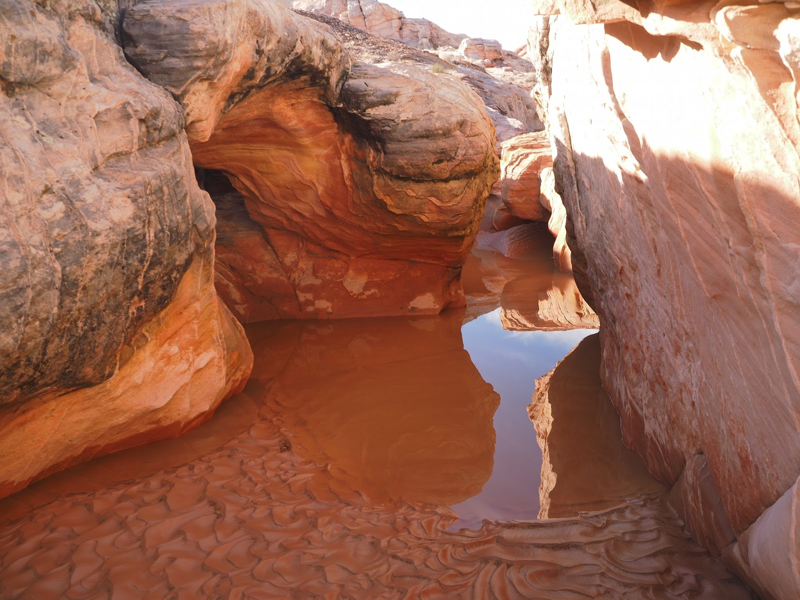
 There is a small slot on the way to the prospect trail that was flooded too.


 The path does not continue very far toward the prospect trail but instead stays close the rocks till it comes to a straight pathway between the rocks in a south south east direction dumping you into the middle of the rocks just below the eye of the iguana.


 From there the path keeps straight south toward a tight place called the Squeeze and up a hill to a great view area. This is the part of the trail descending on from the view area.


 After descending from the view area the trail turns right into a wash that leads to the main wash we usually follow from parking lot #1 to the steep slab path to the arch. This photo is after the steep part and just before you top out and turn right at the jumble of rocks on the horizon.

After the right turn you are in a red sand desert going up hill. Shortly you come to the ramp on the left leading up and over and down and up to the last pitch to the arch.


 Hikers going up the last pitch. The arch is right at the top of it.


The arch at the op of the world.


 View west from the top with Mt Charleston in the distance.


 View of the expansive sandstone on the top.


 View north west.


 Coming down the ramp we went up from the sand desert we cross directly to the canyon route down.


 Starting down the canyon route.


 Part way down.


 After getting all the way down we turn left and follow a beautiful wash to the highway, cross the highway, and head cross country to the wave.


 Heading toward the Wave.


 Interesting rock on the way to the wave.


 View of the rock of Gibraltar from the wave.


 Going west from the wave, up a ridge line toward the road again. Some nice purple and red rocks.


 Looking back east toward red and pink rock.


After crossing the road again follow the wash to the movie set, and turn right back to the parking lot. Or, between the first and second slot, which was flooded today, go right up to the Crazy Hill, and Hidden arch to the pass that also goes to the parking lot.