Search This Blog

Saturday, July 28, 2018

Ruby Mountains, Island lake, and Thomas canyon

This was one of two short hikes planned. One to Island Lake and another to Thomas Canyon. Both about 4 miles and 1500 ft of elevation.


 The trail starts out contouring around the hills from the same parking lot as the Liberty pass trail, but in the other direction.
 Larkspur were plentiful along this trail.


 Stonecrop was also plentiful around rocky areas,


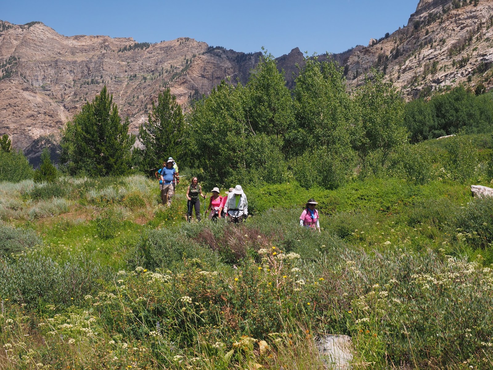
 This hike was mostly in open sagebrush hills.


 It passed several areas where water flowed and there were many flowers.


 Western Columbine.

 Richardson Geranium


 Sego lilly


Island lake


Trail around the lake


Orange mountain dandelion


Corn Lilies


Wild Onions


Thomas Canyon


The Rubys are known as the Alps of Nevada


Small pool and waterfall


Twin berry


Starwort


Beaver house


Hiking through the meadow toward the waterfall


Waterfall at the end of our hike


Monkey flower


Felwort, a member of the Gentian family


Monkshood


Ruby Mountains, Liberty pass.


The hike to Liberty pass did not start off very promising. There was a light rain and solid overcast. The hike was about 7 miles and about 1700 feet.


 Corn Lilies were blooming all over the place.


 Starting out on the trail.


 Monkshood


 Fire weed


 Twinberry


 There was a lot more water in the Rubys than in southern NV.


 Some crossings had nice bridges.


 Group shot among the flowers.


 Tall Mountain Bluebells


 Parry's Primrose.


 View of liberty lake after going over the pass to an overlook where you can see the lake.


When we got back to the cars the sun came out. but on the way down it rained and was windy and very cold.


Wheeler Peak 7/26/2018

Wheeler Peak is the second highest peak in NV.  13,063 feet high and a 8.2 mile RT hike starting at 10,016.


The trailhead is about 1/2 mile from the end of the road up to the high campground. It follows the contour lines for a straight mile through forest gaining little elevation before meeting the Alpine lakes trail and turning right to start climbing through meadows and trees.


 The start of the hike at 10,016 feet elevation.


This is a view of the mountain from the section of trail through the meadows and trees. The trail heads to the ridgeline on the right and follows it up to the top. The portion of the trail above timberline is half the total hike.

 Through the meadows there was a lot of Coyote mint.


 Higher up there was a lot of Ross Avens.


And some alpine paintbrush.


 About half way up the barren ridge is a flat spot to take a break before continuing up.


 On the final steep section the trail switchbacks up the narrow ridge to the top. The trail was clear the whole way up.

\

 Amongst the rocks there were Parry's Primrose.


Also we saw Sky Pilots for the first time.


 The last section to the top leaves the ridgeline and traverses in a straight line to the top.


 At the top looking over into the next basin.


 Our group at the top.
 Proof of reaching the summit.


 This Is the rock shelter at the top where the mailbox is where you can sign the trail register.


Looking back down the ridge we came up.