A few shots of the birds around the feeders at the visitors center before getting on with the hike.
We drove to White Dome parking lot to see what we could see, and there were 8 bighorns at the trailhead.
Back at the trailhead for the day. This is from parking lot #1 looking east. We went straight and soon met a small wash that led left toward the main wash that crosses the road between parking lot #1 and #2.
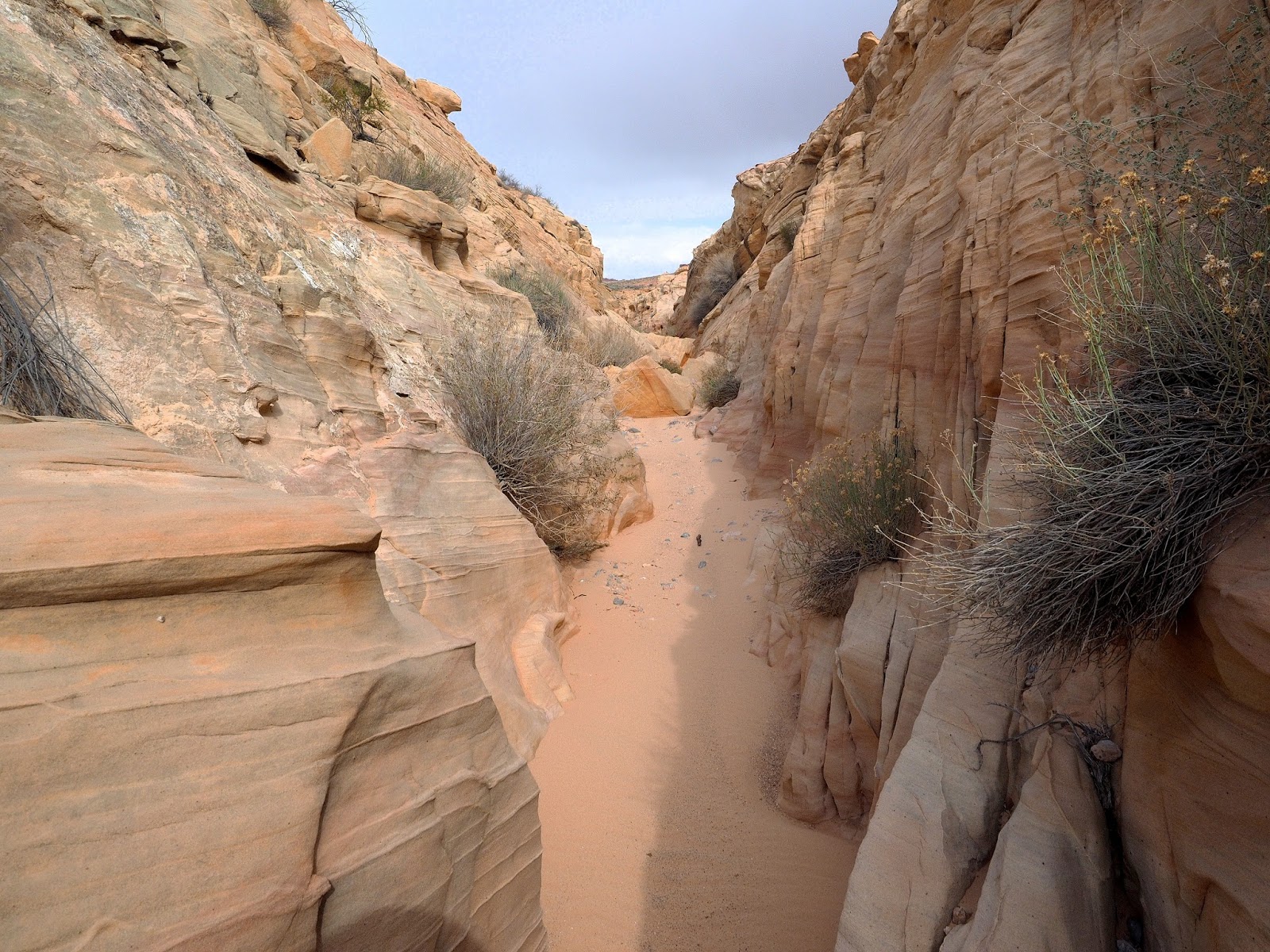
This is the small wash looking north.
Same wash with a view of black cap straight ahead. That formation is also visible from the road from parking lot #2.
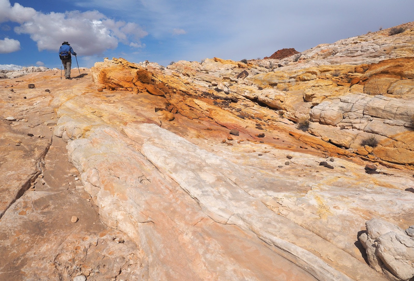
The rocks were colorful.
We came to one small slot section.
Further down the small wash with black cap still visible.
When we met the main wash we turned right (east) and passed by black cap.
The main wash passed through different sections of rock.
About one mile down the wash there were yellow rocks of a similar type as found at yellow spire.
Looking on down the wash from the yellow rock area you can see we will soon come to red rock. At the low red wall beyond the sand the path turns sharply left and twists around a little before a wash on the right leads in the direction we wanted to go. There was another wash near here (the photo) that went the right direction through whitish colored rock. Next time we might try that way.
This is a side trip up the yellow rocks to see what lay beyond.
This is what lay beyond.
After passing the sharp left turn and following the red rock wall to some S curves there were two areas of dry falls that were easy to navigate.
We turned right into the red canyon going our direction and followed it for about .3 miles before heading cross country in the direction of the car.
Unusual rock formation just before we left the wash.
Going cross country there were no direct washes to follow.
Looking back the way we came.
Small section of a wash we were able to follow a little.
The terrain continued like this until we reached a high point of open sandy desert where we should have been able to see the car but there was one more ridge and about 3/4 mile to go to the car.