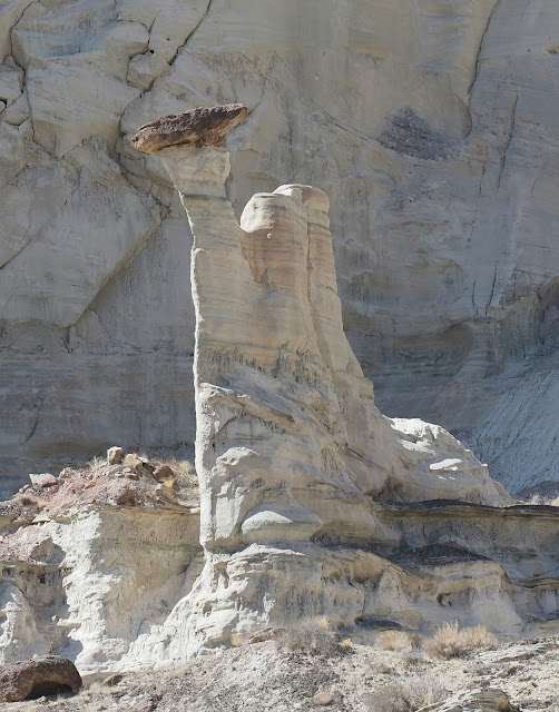
On the drive over to Page we stopped at the Tall Skinny Hoodoo area across from Paria Contact station. It is about a 3 mile RT hike to some Hoodoos you can see from the road.
The reward of finding the Tall Skinny Hoodoo. It is hard to see against the white cliffs untill you reach it.
Interesting rock on the high ridge. Hope to find a way up there next time.
The second day we planned to go to theWahweap Hoodoos. They are out of Big Water up the wash past the fish hatchery. There was a little water in the wash we had to ford in the car before the trailhead but it was only about 4 inches deep and the bottom was firm. On the hike up the wash we had to ford the creek about 20 times. There were always enough rocks to keep you out of the mud.
Looking up the wash the Hoodoos are near the end of the cliff on the left.
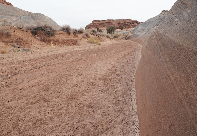
The hike was like this almost all the way. My GPS showed 9.5 miles RT.
On the way up the wash this point on the cliffs on the left let you know you are getting close.
A little further you will see the largest hoodoo you have ever seen.
This ls the White Ghost, the main reason for doing the hike. It is in the last alcove on the left after a particularly dense area of willows. The way through is right next to the cliff.
We left the White Ghost alcove as worked our way backward to the previous alcove. This was to assure the best light on White Ghost before shadows took over.
The next day was cloudy with a 50% chance of rain so we did short hikes to The Nautilus and the Toadstools.
The Nautilus is behind the Paria Contact station. Up this side canyon to the left before you reach the campground parking.
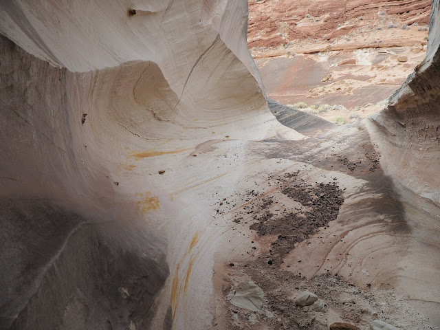
A little yellow stripe on this landmark marks when you are almost to the Nautilus. It is visible from the wash in the next slide.
On the top side after going through the Nautilus.
Looking back down the wash toward the car.
Going back through the Nautilus
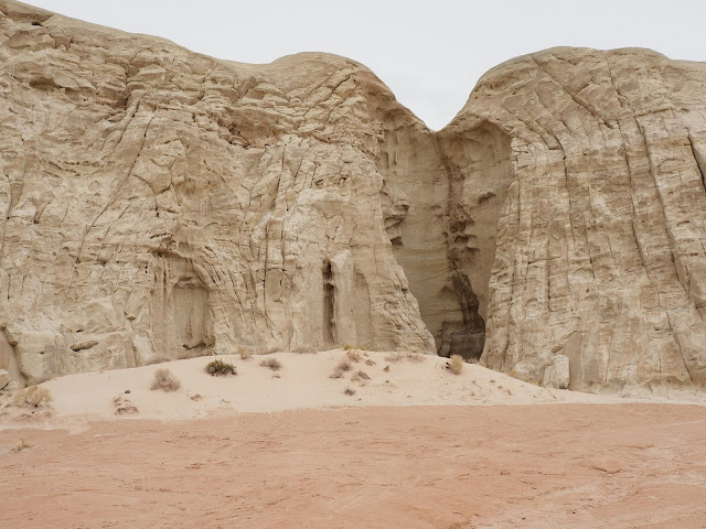
Just outside the entrance to the Nautilus.
Then we drove over to the Toadstools. The parking lot was full but we found a place to park.
First view of the Red Toadstool.
Next day was bright and sunny for our trip from Wire pass to Buckskin gulch. The trailhead is down House Rock Valley road and the road was in good shape due to the construction project enlarging the parking area. I counted 88 cars in the parking lot. It was pretty crowded in the canyon. Possibly the crowds were due to spring Break and Antelope canyon being closed.
The trail follows a wash east for 1.5 miles and suddenly slots up at Wire pass.
Here is a log showing how high the water can get. Look closely, there is a raven on the log.
A short distance into Wire pass is a ladder that makes the hike much easier than in the past. It the ladder is washed away there is a way around to the right, just before you enter the slot.
This is the view out of wire pass just before the junction with Buckskin gulch. There are pectroglyphs on the big wall straight ahead by the people.
Another high water mark.


