On a previous hike we started at the Logandale trails trailhead and hiked 8 niles through soft sand in the midst of 4 wheelers. It was pretty strenuous. The path from the south out of VoF is about the same distance but most of the soft sand can be avoided. Starting at the duck rock closed road.
Interesting rock shelter that might have been used by the original inhabitants.
Several windows and arches on the backside of sand dune rock. This one was right near the trail. The other two were higher on the right and ahead.
This was high on the ridge to the right.
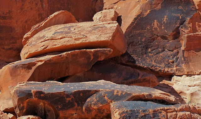
The first set of petroglyphs are on the left after you get out from behind the sand dune rock and onto flatter terrain. There is an information sign there at the junction of several jeep roads and the canyon is fenced off so the 4 wheelers cant drive in the last quarter mile.
Walking the extra quarter mile into the canyon there are several good petroglyphs.
On the way back we didnt go the same way. Near the steep sand dune we went straight south, staying behind some of the outcrops we passed on the way up. That avoided more sand and allowed up to see another petroglyph.


No comments:
Post a Comment