This is the hike from parking lot #2 due west to the squeeze, and then turning left to reach the wash that leads to the Steep Slab route up. We returned by the Canyon Route. 11 hikers made it in 3.5 hours. After we got home I measured the route on Google maps and got 3.5 miles. Seemed closer to 4 miles to me though.
After we left the cars we went west through the rocks to a point where we joined the main north-south trail that goes below the Eye of the Iguana. We joined that trail at the Squeeze and turned left toward the view point.
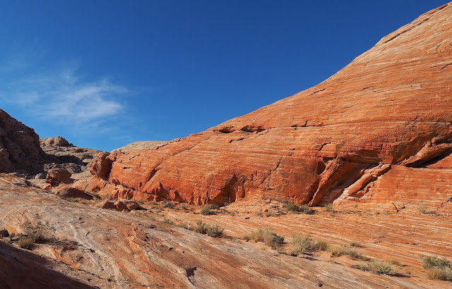
This is just before intersecting with the Squeeze.
After passing the high point in this area we followed the wash south to intersect with the wash that leads to the Steep Slab up onto the high ground where the Top of the World arch is found.
This is starting up the Steep Slab.
The first rest stop halfway up the slab.
Continuing up it is a little less steep.
The final pitch before reaching the red sand desert.
After the red sand desert we went up a fin and down the other side, across a small flat and up another fin to the arch. The area where the arch is, is at the top center of this photo, the darker flat spot. You cannot see the arch till you get there.
Up the final pitch after the small flat. The arch is at the top of this pitch.
Looking down to the right where we came from while climbing the last pitch.
Finally arrived at the arch.
Half of the group on top of the arch.
Looking to the west from on top.
Returning down the final pitch.
Arriving back at the red sand desert we cross to a gap that leads down to the Canyon route our way back to the cars.
Going down the canyon.
Going down the canyon.
Still going down the canyon.
At the bottom we took the Beautiful Wash back to the cars.
The rock had interesting patterns.
The last knoll before seeing the cars.
Finally we are arriving at the cars after a long 3.5 miles.


No comments:
Post a Comment