WE had a club trip to make up for one that had bad weather in the spring when we couldn't access Edmaier's Secret.. WE got lucky when one member got a permit for the WAVE and allowed 5 of us to join on that hike.
This is walking to the Wave and we have just passed the Twin Buttes, which is a landmark on the way to the wave.
The scenery all around is spectacular.
Here we are nearing the wave. it is below us and across a sandy wash in the shadow of the ridge in the background.
This is the sandy wash before the wave and the sandy hill that is the last obstacle to the wave.
Just before entering the wave it is good to go left a few yards to the Mini Wave.
Finally, the entrance to the Wave
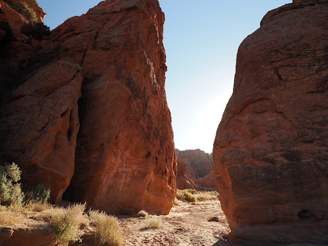
The small slot exit from the wave that leads down to the wash below.
Our group in the slot
The view out the end of the slot
The actual wave.
Our group in the Wave.
We headed up and around to the Second Wave.
There were Triops, Desert shrimp here also.
There was some standing water for reflection photos.
Above the Wave and heading to the Second Wave.
Top Rock arch. We didn't climb up there this time
Lichen on the rock
This is the trail up to the Top Rock arch and to Melody arch.
The Second Wave
The Second Wave.
A hamburger rock
People at the wave posing for photos
Dropping down from the wave to the wash below.
There is a nice canyon at the bottom.
We walked upstream to find an exit to the Bone Yard and the Dinosaur tracks.
The Boneyard. No Bones, just rocks
Dinosaur tracks. Their location is identified on Google Maps.
The gateway into the buckskin valley
First set of petroglyphs after the gate.
Second panel
Third panel
First set of fins encountered
Climbing up a sand hill on the way to edmaiers secret.
First rock outcrop above the sand hill
The same rock has a lot of Lace Rock on top.
Looking onward you can see Big Dome, a landmark that helps maintain your orientation.
Working our way up the sandstone towards the top of West Clark Bench
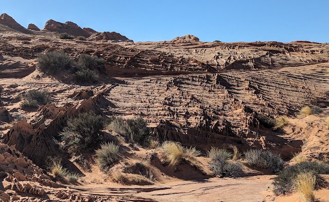
Pattern of sandstone ridges.
Moving further uphill
Encountering the first field of fins.
12 inch fins
Smooth sections alternated with fin sections
Red stained sandstone
Another field of fins
If this area becomes popular The fins will be broken down or a quota implemented to restrict visitation like at the Wave.
The fins are very delicate and walking among them will surely break them off. Poles are recommended around them to help balance.
Climbing up the last steep section to the top of the plateau
On top there is a wide area of white sandstone with pockets of water and one old cattle stock pond with a dam and patch of reeds.
First time seeing a Clam Shrimp.
Filming the wildlife found in vernal pools
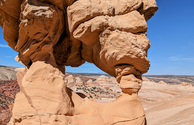
The arch/window at the top of the plateau
Another Clam shrimp
Wide angle shot from the top looking toward the wave. The Wave is at the left of the frame and the trailhead is on the right. The trail is 3 miles long and the route can be seen in the photo.
Coming off the top down a sand slide
Giant fins sticking out of the sand
Morning glory Heliotrope
An old petroglyph on the way back to the car

.jpg)
.jpg)
.jpg)
.jpg)
.jpg)
.jpg)
.jpg)
.jpg)
.jpg)
.jpg)
.jpg)
.jpg)
.jpg)
.jpg)
.jpg)
.jpg)
.jpg)
.jpg)
.jpg)
.jpg)
.jpg)
.jpg)
.jpg)
.jpg)
.jpg)
.jpg)
.jpg)
.jpg)
.jpg)
.jpg)
.jpg)
.jpg)
.jpg)
.jpg)
.jpg)
.jpg)
.jpg)
.jpg)
.jpg)

.jpg)
.jpg)
.jpg)
.jpg)
.jpg)
.jpg)
.jpg)
.jpg)

.jpg)
.jpg)
.jpg)
.jpg)
.jpg)
.jpg)

.jpg)

.jpg)
.jpg)
.jpg)
.jpg)
.jpg)


.jpg)
.jpg)
.jpg)
.jpg)

.jpg)
.jpg)
.jpg)
.jpg)

.jpg)
.jpg)
.jpg)
.jpg)
.jpg)
.jpg)

.jpg)
.jpg)
.jpg)

.jpg)
.jpg)


.jpg)
.jpg)
.jpg)
.jpg)
.jpg)
.jpg)
.jpg)

.jpg)
.jpg)


.jpg)
.jpg)

.jpg)
.jpg)

.jpg)
.jpg)
.jpg)

No comments:
Post a Comment